Sjoerd - Geo-information trainee
"A fellow student pointed me in the direction of the water authority. I studied social geography at the University of Groningen and am now pursuing a master's in geo-information management at Utrecht University. I didn't know much about water, but I wanted to gain experience in the public sector. When I looked at the website, I saw a number of interesting traineeships. I responded and eventually started working on a GIS analysis for Noorderzijlvest.
‘It’s great to make your own maps’
Geography and data
GIS stands for geographic information system. This system makes it possible to manage, analyse, and share various data with others. Geography and location are important starting points for data integration. Sharing data with an up-to-date map makes complex data more visible.
A water authority has a wealth of information at its disposal. For example, about watercourses, ditches, rivers, water levels, water quality, pumping stations, bridges, locks, and dykes. I have contributed to the automation of the GIS analysis that precedes a Water Level Regulation Plan. Such an analysis serves to substantiate water-level management. Why is a higher or lower water level chosen? This balancing of interests is relevant to nature organisations and farmers.
'I hope the information keeps fields wet and feet dry'
I also made an inventory of objects, how much water surface area there is in the management area, which areas are of archaeological interest, and what the situation is with regard to greenery, soil subsidence forecasts, and structures, such as weirs and culverts in the region. All this information is now automatically processed into reports.
Reports of water levels that are too high or too low now automatically appear with a postcode in the Join case-management system. This allows you to identify the origin of the reports immediately. I have also created maps that use colour codes to indicate whether water management in an area is adequate, or whether it is too dry or too wet. GIS offers many possibilities for effectively combining data.
Warm welcome
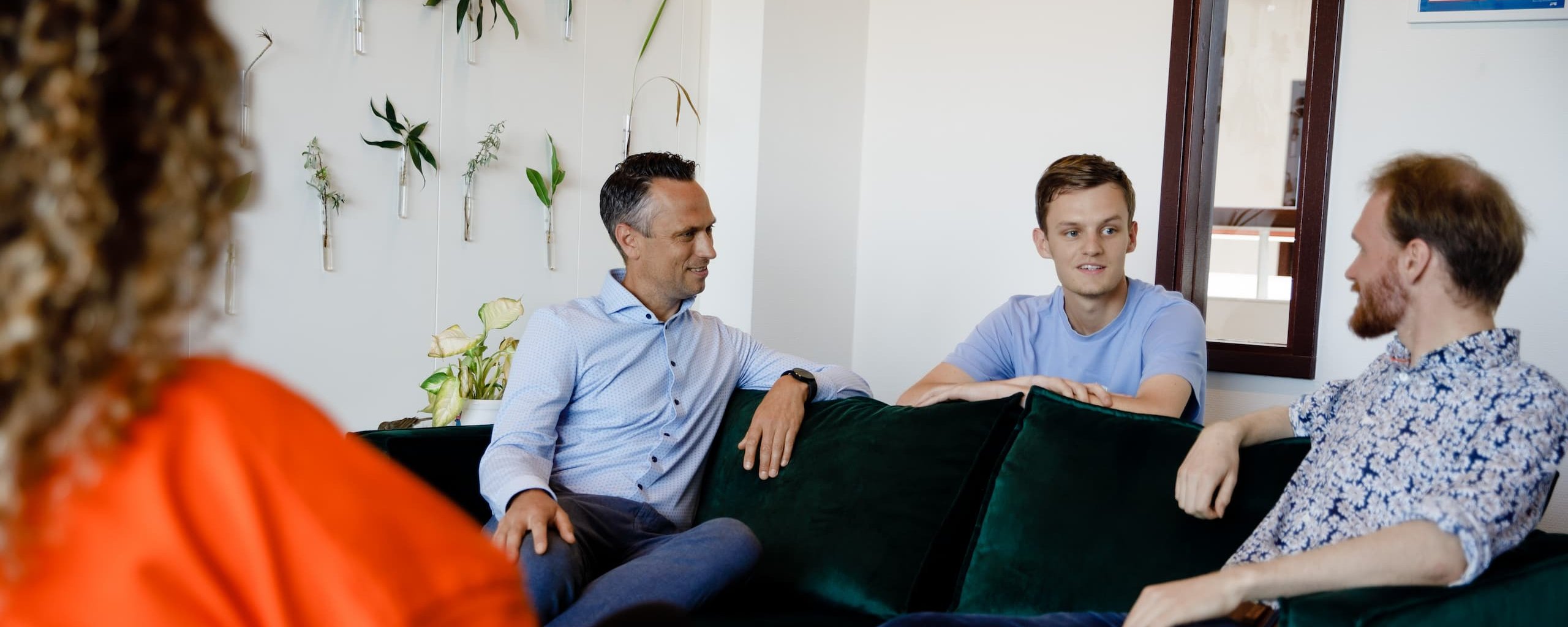
I grew up in Amsterdam, but I've been living in Groningen for six years because I could study what I wanted to here. I like it in the north and at the water authority. I received a warm welcome and my colleagues are very supportive. They give me a behind-the-scenes look and I'm learning a lot. It's also a really pleasant place to work. I often share a room with other young people, we eat sandwiches together at noon, and fun activities and get-togethers are organised outside of work. I think it would be exciting to continue with geo-ICT. And if I get the chance, I would like to stay here after my traineeship.
Will it be water-management work for you too?
We work together to get the water balance just right. But we think a good work-life balance is just as important! When you work for us, you can combine meaningful work with job satisfaction and great terms of employment.