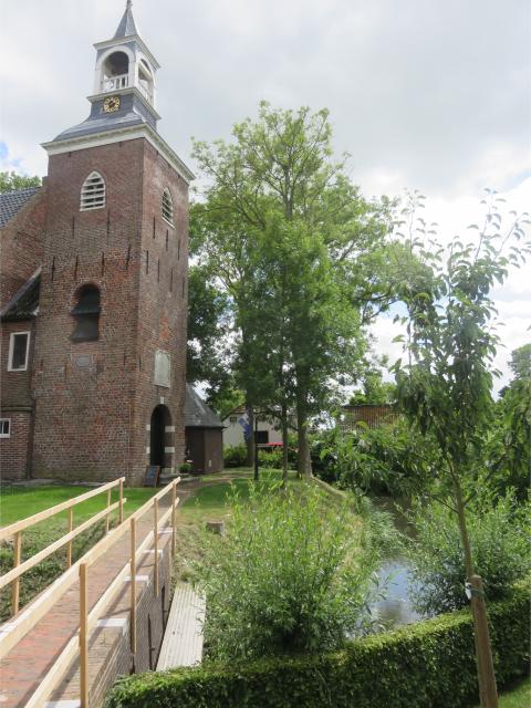
Archaeological heritage
The Noorderzijlvest Water Authority owns no less than 3,200 hectares of land. Some of these plots contain archaeological remains from the past. Often, we do not even know exactly what lies beneath the ground. Below is an overview of the various archaeological heritage sites in our possession or partially in our possession.
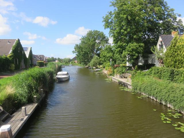
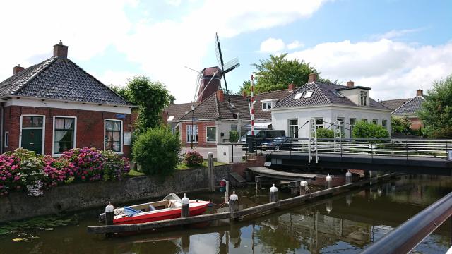
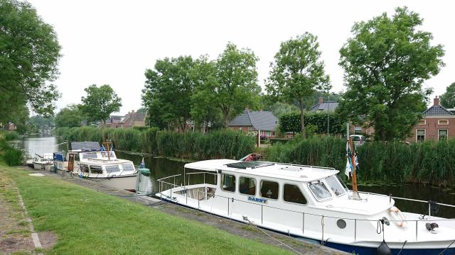
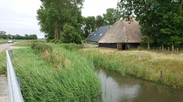
Village scenes
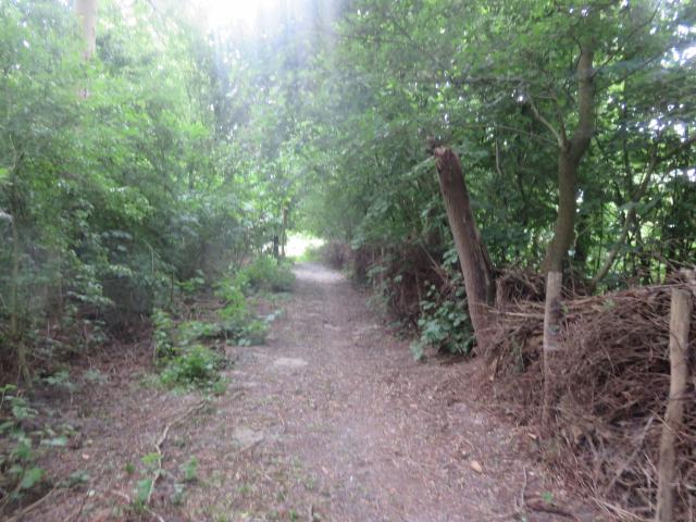
Our region has many historic villages of archaeological value. The water authority contributes to these village landscapes with the iconic waters we maintain.
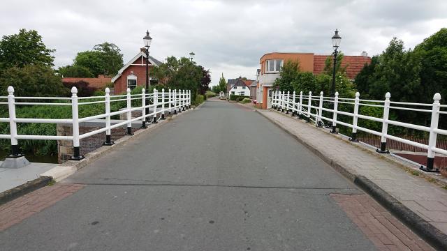
Onderdendam
This village is a crossroads of waterways and land routes and developed into an important port and transshipment point. The location connects the Winsumerdiep, the Boterdiep, and the Warffumermaar. In the past, the so-called warfdagen (annual meetings) of judges and locks managers were held here.

Ten Post
Ten Post is located along the Damsterdiep canal, which was dug in the 15th century. The village developed along the old road from Stedum to Wittewierum.
Enumatil
This village owes its name in part to the bridge over the Hoendiep canal, which was dug in the 17th century. Little is known about any earlier habitation of the site.
Garrelsweer
Garrelsweer is a dyke village that originated on the Delf, the predecessor of the Damsterdiep. In 1057, the village was granted market, coinage, and toll rights. In the Middle Ages, the village came to lie in the shadow of Loppersum.
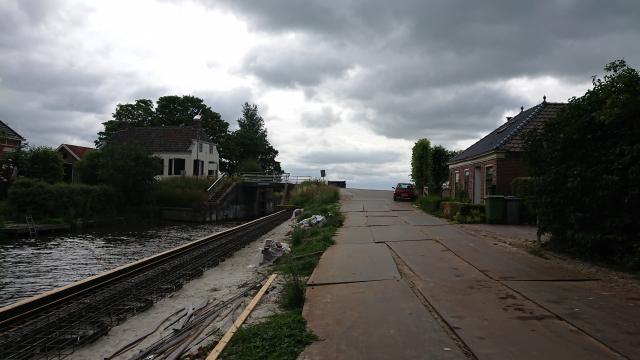
Kommerzijl
Kommerzijl is a village that originated at the old sea lock around 1600. The village is located on the Kommerzijlsterriet, which drained into the sea at that time. The lock and the water still remind us of the time when the place served as a tidal barrier.
Schouwerzijl
The village of Schouwerzijl is characterised by the lock that is clearly visible in the landscape. Schouwerzijl originated as the location where the water from the Kromme Raken flowed into the Reitdiep. It used to be a sea lock.
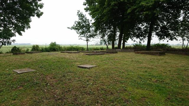
Menkeweer graveyard
Menkeweer graveyard, with 56 graves, is located on an ancient dwelling mound north of Onderdendam. This dwelling mound dates back to the late Roman period. Until 1843, there was a church on this cemetery, which was subsequently removed. The Hunsigo Water Authority purchased the cemetery in 1960 because it "felt morally obliged to keep this grave (i.e. that of Mr. A.J. van Roijen, the first chairman (dyke reeve) of the water authority and his entourage) in good condition." When Hunsingo was incorporated into the Noorderzijlvest Water Authority, the graveyard became the property of the Noorderzijlvest Water Authority.
Dwelling mounds
In the early Middle Ages, the northern part of the Netherlands was home to settlements on dwelling mounds terp mounds). These raised mounds served as places for people to live and shelter their livestock during times of high water. These dwelling mounds still be found in the landscape of North Groningen today and tell the story of the ancient struggle against the water.
Village mound Losdorp
The village mound of Losdorp comprises a moated churchyard with a church. The height of the dwelling mound is 3.60 metres above sea level. The northwestern quadrant is surrounded by a ring ditch. On the southern part of the dwelling mound is the former manor house 'Fraylema'. The northwestern part is intact, while the rest has been partially excavated. The water authority maintains the watercourse along this site.
Double-mound village Ulrum
On this dwelling mound, there are still buildings, a moat, and an elevation in the land that can be recognised as a dwelling mound. Remains of human activity are likely to be found in the soil. The water authority mainains the watercourse along this site.
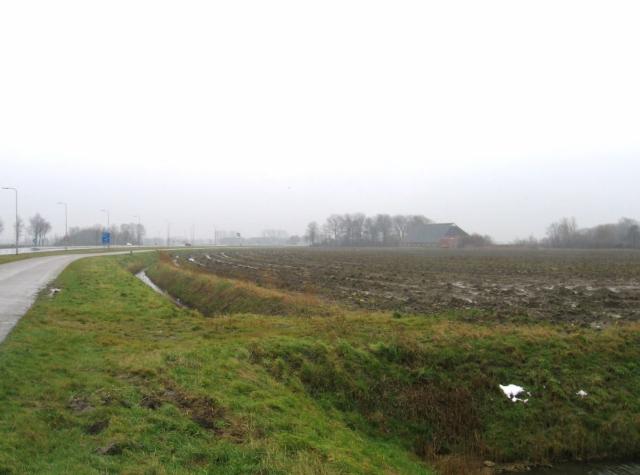
Relics
Remains of former settlements can be found in the region of the Noorderzijlvest Water Authority. In the past, remains were found during the construction of waterworks.
Remains of Feldwerd abbey (Eems Delta)
An abbey was founded on this site in the twelfth century. The abbey must have consisted of at least a church, two monasteries, an abbot's house, a gate, a wall, farms, and perhaps a mill. The abbey was demolished during the Eighty Years' War, and the site was levelled in the 1970s. The water authority maintains the watercourse along this site.
Manor-house estate Spijk
This manor-house estate comprises a walled and moated farm, which has recently been enlarged. The south moat has been filled in, as have the moats surrounding the courtyard. The south embankment has disappeared, but the others remain intact. The estate has attractive moating and planting. The water authority maintains the watercourse along this estate.