Groundwater in focus with helicopter measurements
14 July 2025
Where is fresh or salt groundwater located in the northern Netherlands? And how deep are the protective clay layers? To study this, a helicopter equipped with a special measuring ring will fly over parts of Groningen, Drenthe, and Friesland starting in August. This is part of the national FRESHEM-NL project.
Salinisation
Climate change and rising sea levels are causing increased salinisation of groundwater, particularly in coastal areas. FRESHEM-NL helps to better understand these processes and to take sustainable measures based on data and models.
What is being measured?
- The distribution of saltwater and freshwater in groundwater
- The location and thickness of clay layers, which are essential to protecting groundwater against pollution.
The study will produce a three-dimensional (3D) model of the soil showing the salinity of the groundwater and the location (depth) of clay layers.
Who are the measurements important to?
The results are important for water managers (who make policy on water quality), water producers (drinking water), nature organisations (who want to protect vulnerable ecosystems from salinisation), provincial executives, and farmers (who depend on freshwater).
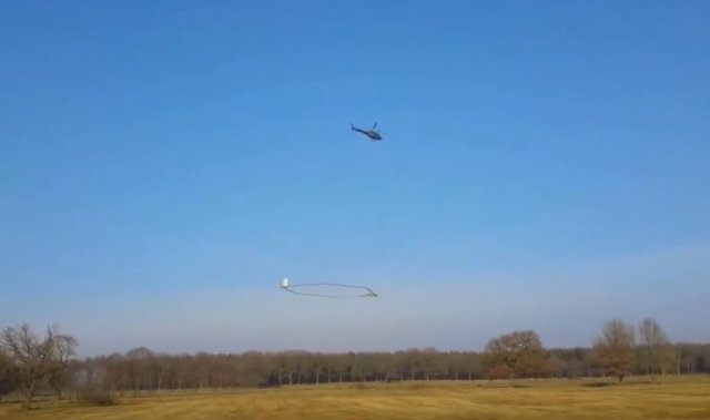
How do helicopter measurements work?
With a so-called SkyTEM system, a measuring instrument suspended beneath a helicopter, electromagnetic signals are used to measure the conductivity of the subsoil to a depth of up to 200 metres. This technique provides a three-dimensional image of the subsoil.
The helicopter flies at a speed of 60 to 80 km per hour and takes measurements every 10 to 15 metres. Saltwater has low electrical resistance and freshwater has high electrical resistance. Sand has high electrical resistance and clay has low electrical resistance. The differences in electrical resistance provide a detailed depth image of the fresh and salt groundwater and the clay layers.
When will the measurements take place?
Measurements will be taken from August 2025 to January 2026. This period has been chosen to minimise disruption to birds and other animal species. Measurements will only be taken during the day, in principle from Monday to Saturday. View the current overview of all locations and times of the measurements. This is a rough schedule that is subject to change due to weather conditions, for example.
What happens to the results?
This study will give us a better understanding of where clay layers are located in the soil. We will also know where the groundwater is fresh or salty. This is particularly important for agriculture and horticulture. It will also help us to better determine where groundwater can be used to produce drinking water.
The results of the measurements are expected to be available to everyone in 2027.
Would you like to know more about FRESHEM-NL?
Watch the webinar about helicopter measurements: Groundwater in focus with helicopter measurements (webinar) or visit the FRESHEM website .
FRESHEM-NL is a nationwide collaborative project involving seven provincial executives, seven water authorities, five drinking-water companies, and two knowledge institutes. In the northern Netherlands, the provinces of Groningen, Fryslân, and Drenthe are working together with the Hunze en Aa’s, Noorderzijlvest, and Wetterskip Fryslân water authorities, and the Waterbedrijf Groningen and Vitens drinking-water companies.