Landscape heritage
The region of the Noorderzijlvest Water Authority has many different man-made landscapes. Many of our landscapes are reminders of the battle against water or of coexistence with water. What connects them is that they all showcase the beauty and splendour of our landscape. Below is an overview of the landscape heritage in our possession or partially owned by us.
Dykes
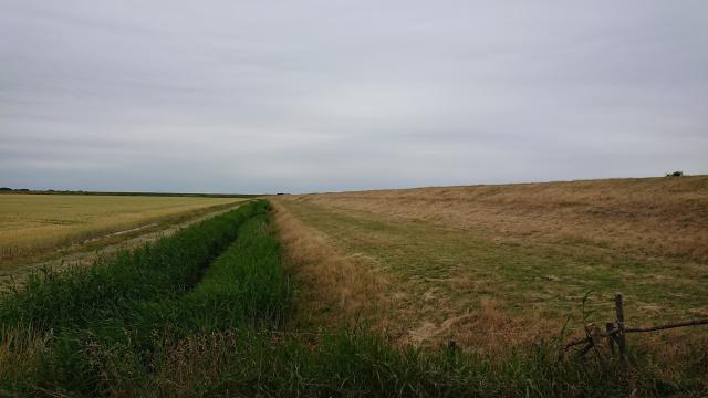
The north of Groningen, from the city to the mud flats, has a long history of dyke construction. The current sea dyke is one of the remnants, but so are the sleeper dykes behind it and, in some cases, the dreamer dyke behind that. These are the former sea dykes that are no longer used due to land reclamation. Along the Reitdiep, there are also old dykes with tidal barriers (sluices) that provided drainage. These dykes also have coupures (dyke passages) that allowed passage.
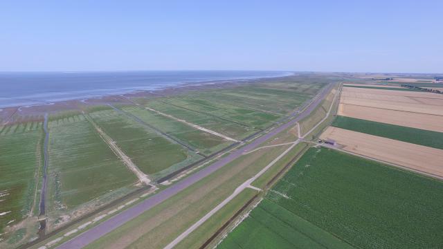
Ommerlander sea dyke
The Ommelander sea dyke was built in stages starting in the 19th century, partly because land reclamation caused the route to be relocated. Today, it is one of the most striking landscape features in the north of Groningen.
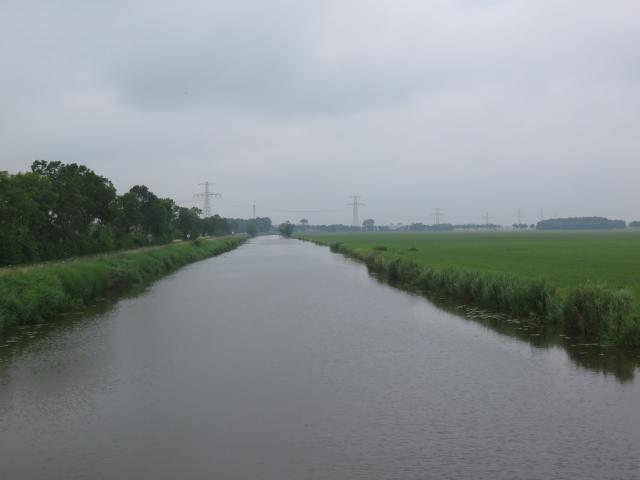
Reitdiep
For centuries, a dyke has surrounded the Reitdiep from city to mudflat. Water was discharged at low tide at various points along the Reitdiep. Tidal barriers (sluices) were built for this purpose. These sluices were openings in the dyke along the Reitdiep. This dyke is still largely intact along the Reitdiep.
Middendijk
The Middendijk was renovated in a single year after the Christmas flood of 1717. With the Ommelanderzeedijk being raised to delta height, the Middendijk lost its function as a water-retaining sleeper dike (a former sea dyke that holds back the water).
Eemspolder dyke
The Eemspolderdijk was constructed in 1876 and drained by the Goliath polder mill. With the completion of the Emmapolder in 1944, this dyke lost its function as sea dyke.
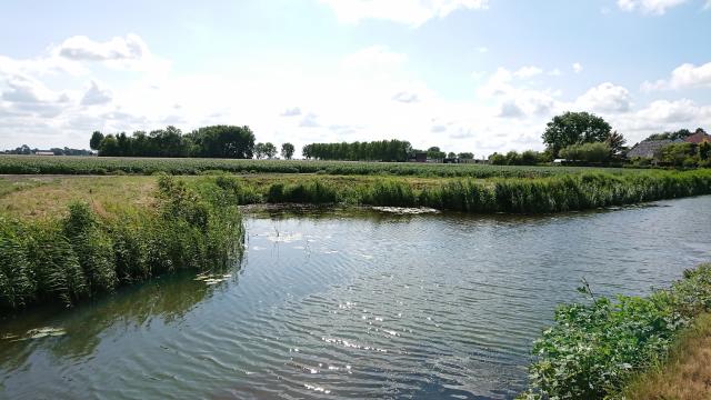
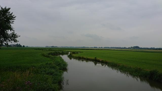
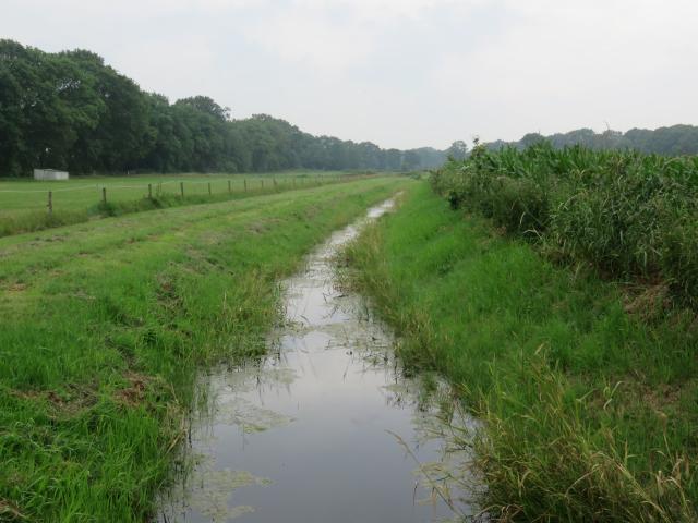
Watercourses
Watercourses are characteristic of areas where the Noorderzijlvest Water Authority manages water. As this is also part of our water heritage, below are some notable waterways.Leeksterhoofddiep
The Leeksterhoofddiep is the oldest peat canal in Groningen. It was connected to Friesland via the Jonkersvaart. This waterway is characterised by the peat policy pursued by the city of Groningen and the lords of Nienoord. Perpendicular to this canal, 'wijken' were constructed to transport water and peat to the city.
Turning basins
In the past, turning basins were constructed throughout the area. These are places where large ships and barges could turn around.
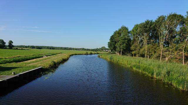
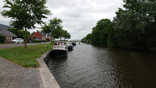
Van Starkenborgh canal
The Van Starkenborgh canal was constructed in 1938, largely by hand as part of a public works programme. The canal symbolises modern water management.
Aduarderdiep
The Aduarderdiep is a canal dug by the monks of Aduard between the twelfth and fourteenth centuries. A lock was built at the point where the water flowed into the Reitdiep. This lock is called Aduarderzijl.
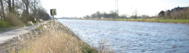
Ulrum tow canal
The towpath along the Ulrummerdiep was initially intended only for the boatman and the horse that pulled the ferry. A toll had to be paid to use these roads. The tow canal itself was part of a network of tow canals that was constructed from the mid-17th century onwards on the initiative of the city. Parts of the canal between Mensingeweer and Ulrum were dug in 1614. The towpath was constructed along the canal, all at the expense of the provincial executive.
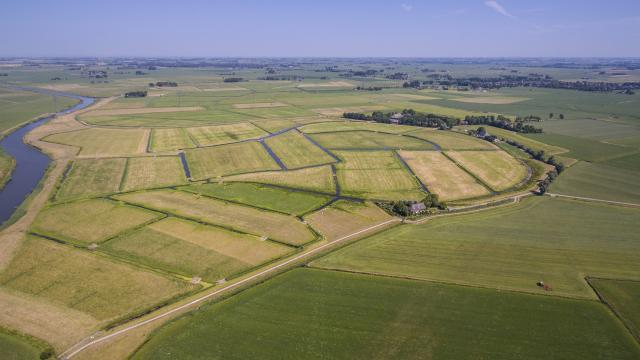
Watercourses of Middag-Humsterland
The Middag-Humsterland national landscape used to consist of an island and a peninsula. These were crisscrossed by natural watercourses. Today, these still exist.
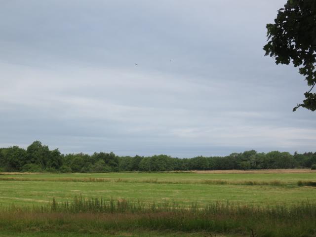
Green heritage
In our region water often shaped nature areas. Think of the stream valleys, where the stream defines and shapes the nature areas.Rundeveen
The stream valley of the Runsloot is barely 100 metres wide in the Hondstong between Vries and Yde. As if by a miracle, at the end of the 1960s, during the land consolidation in Vries, about 1.5 kilometres of the old Runsloot was spared, and Het Drentse Landschap was given the opportunity to take care of it. The ditch is managed by the Noorderzijlvest Water Authority.
Brinkstuk Zeijermaden
The stream valley around the Grote Matsloot is a stream valley in Drenthe with a straightened stream. Along this stream, you will find hedgerows and grassland. The Grote Matsloot is managed by the Noorderzijlvest Water Authority.
Row of trees near Westernieland
In an open landscape, you cannot help but notice vegetation. So, this five-and-a-half-kilometre-long row of trees really stands out. It is the only row of trees in the wide surroundings. Why this row of trees was planted here is not known.

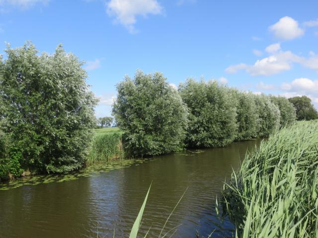
White willows near Ten Boer
White willows are not rare or unusual in themselves. However, willow branches tell a story of water management. These willow branches were used in wickerwork such as fascines and bank protection.
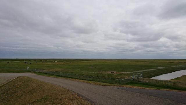
Salt marshes near Noordpolderzijl
During high tide, part of the land floods and the sea carries away clay and sand particles. The constant sedimentation of sea clay creates salt marshes: vast expanses of sea clay that are dry at low tide and only flood at high tide. Salt-loving plants grow on the salt marshes, trapping silt particles with their stems and leaves, which promotes sedimentation. This causes the salt marsh to silt up. At Noordpolderzijl, you can find the rare combination of high and low salt marshes.